What Your Drone Camera Can Tell You From Above

A drone camera shows more than pretty views. Learn how aerial images help with mapping, inspection, agriculture and construction.

A drone camera turns a hard-to-see site into a clear picture. Looking down from above reveals patterns you cannot see from the ground.

Cities and roads: traffic flow, layout and infrastructure condition.
Farmland: crop health and field boundaries.
Construction sites: progress over time and site safety.
Landscapes and water: terrain, coastlines and natural change.

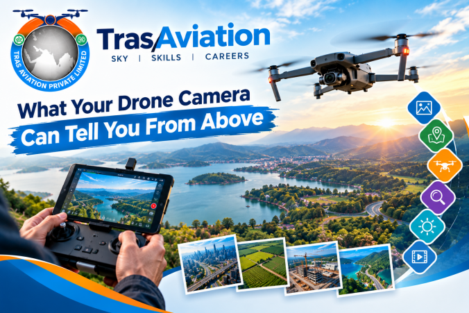
The banner's icons point to the main uses: capturing photos, mapping locations, flying missions, close inspection, reading light conditions and recording video. Good results depend on flying skill, camera control and safe operation, all covered in professional training.

Learn to fly and capture with purpose in our Small Rotorcraft course. What Your Drone Camera Can Tell You From Above

A drone camera shows more than pretty views. Learn how aerial images help with mapping, inspection, agriculture and construction.

A drone camera turns a hard-to-see site into a clear picture. Looking down from above reveals patterns you cannot see from the ground.

Cities and roads: traffic flow, layout and infrastructure condition.
Farmland: crop health and field boundaries.
Construction sites: progress over time and site safety.
Landscapes and water: terrain, coastlines and natural change.

The banner's icons point to the main uses: capturing photos, mapping locations, flying missions, close inspection, reading light conditions and recording video. Good results depend on flying skill, camera control and safe operation, all covered in professional training.

Learn to fly and capture with purpose in our Small Rotorcraft course.

What Your Drone Camera Can Tell You From Above A drone camera shows more than pretty views. Learn how aerial images help with mapping, inspection, agriculture and construction. A drone camera turns a hard-to-see site into a clear picture. Looking down from above reveals patterns you cannot see from the ground. Cities and roads: traffic flow, layout and infrastructure condition. Farmland: crop health and field boundaries. Construction sites: progress over time and site safety. Landscapes and water: terrain, coastlines and natural change. The banner's icons point to the main uses: capturing photos, mapping locations, flying missions, close inspection, reading light conditions and recording video. Good results depend on flying skill, camera control and safe operation, all covered in professional training. Learn to fly and capture with purpose in our Small Rotorcraft course.

Scroll to Top